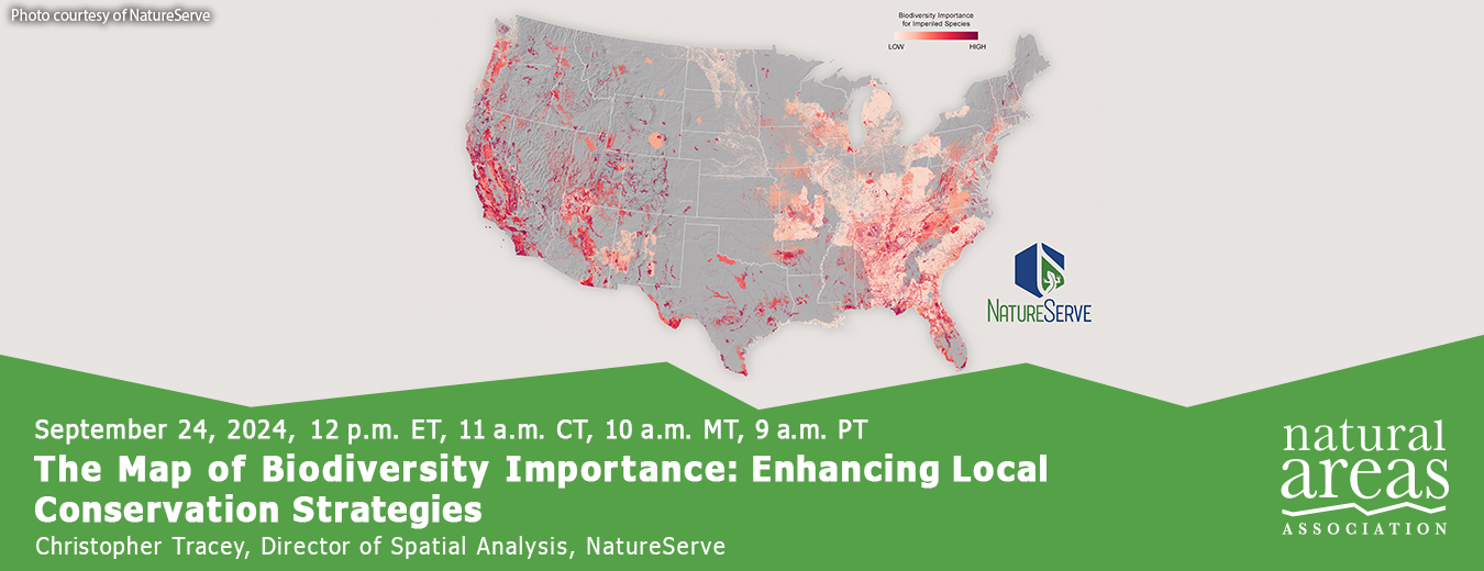
NatureServe recently released an update to the Map of Biodiversity Importance – a portfolio of maps that identify areas critical to sustaining our nation's rich biodiversity. The resolution of MoBI is now 9x more precise than the initial release – moving from 990-meters to 330-meters. It includes over 600 species that have been newly identified as at-risk and reflects the latest information about protected areas in the United States. Thanks to recent investments in data development for pollinators, which are increasingly recognized for their important ecosystem service value, MoBI now includes an entirely new group of taxa: solitary bees.
These improvements are possible due to technological advancements, including streamlined machine learning processes for producing habitat models. Bringing together 50 years of local knowledge on known species occurrences collected by NatureServe’s network of state partners with powerful predictive modeling techniques provides an unparalleled understanding of the places most important to conserve. These advances also support efforts such as the 30 by 30 initiative, an ambitious endeavor to conserve 30% of nature by 2030.
In this presentation, we will explore the Map of Biodiversity Importance (MoBI) and its critical role in guiding conservation efforts by offering a comprehensive view of biodiversity across different regions, serving as an invaluable tool for conservation organizations and land managers. By integrating MoBI and other NatureServe Network datasets, stakeholders can make informed decisions that enhance local conservation strategies.

Christopher Tracey, Director of Spatial Analysis, NatureServe
Christopher Tracey is the Director of Spatial Analysis at NatureServe. He focuses on developing and delivering data to inform biodiversity conservation. Before joining NatureServe in 2022, he was an ecologist and managed conservation planning activities for the Pennsylvania Natural Heritage Program.

Support the people who manage our natural areas and protect biodiversity in perpetuity.