Geographic Approach to Invasive Species Series


Thanks to generous support from Esri, NAA can provide this opportunity at no cost to you!

Have questions? Email us at info@naturalareas.org.

Download Information PDF


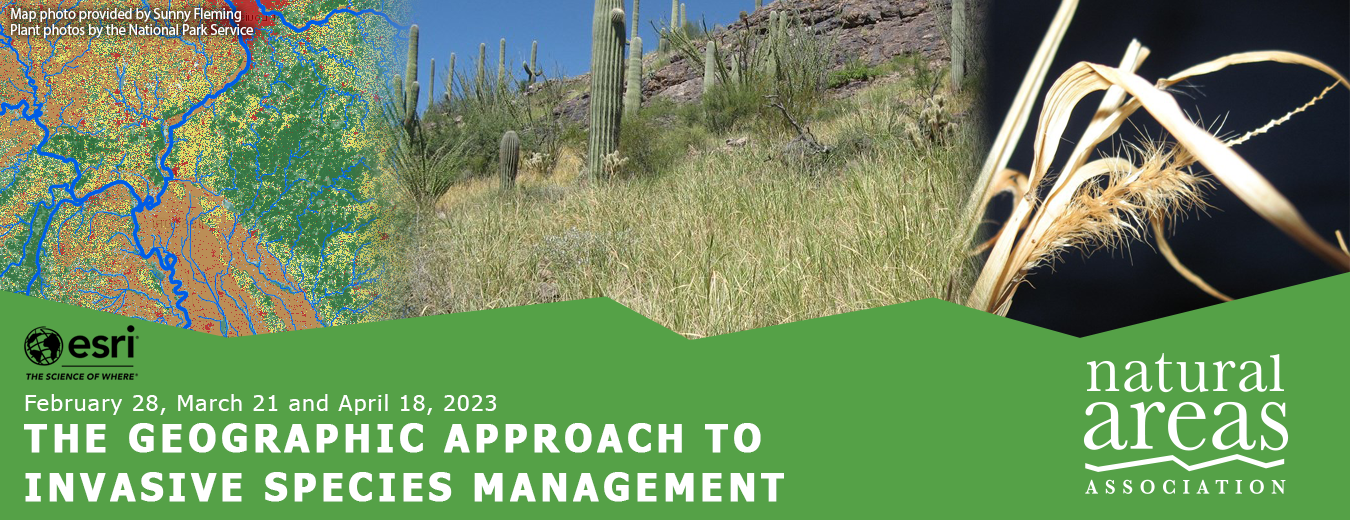
Join NAA and Esri for an innovative three-part webinar/workshop highlighting the use of geographic information system (GIS) tools.

During this series, Esri public sector environment leads and ArcGIS product managers will focus on how GIS tools can be a critical component of an invasive species management plan. Using buffelgrass (Cenchrus ciliaris) as a case study, Esri's product experts will demonstrate how ArcGIS Field Maps and ArcGIS Hub permits land managers to increase efficiency, improve efficacy, reduce waste, and expand communications when gathering and analyzing data. These sessions are practice-based and practical! Structured to examine automating workflows, each session will have ample time for participants to ask detailed questions and engage with product experts.  

Choose to attend one session or all three, but definitely take advantage of this opportunity to talk directly with ArcGIS Field Maps and ArcGIS Hub product managers about challenges on your site, next level uses, or even just how to think about getting started!

Whether you are currently using GIS tools or you just want to learn more about how they can be integrated into your projects, this series is for you!

Download Information PDF

February 28, 12:00 pm - 1:00 pm EST
The Geographic Approach to Invasive Species Management

Abstract: Invasive species threaten our biodiversity, our safety and our economy. Land managers are tasked with the never-ending responsibility of early detection, treatment and eradication of what USDA estimates are nearly 6500 non-indigenous species across the United States. Federal funding has recently infused additional funding into existing federal programs to help land managers with this task. This webinar will be an introduction to how land managers are applying geographic approaches to understanding this issue, what federal programs exist currently and set the stage for two follow up webinars that will dive more deeply into configuring GIS tools for key components of invasive species management workflows.


March 21, 12:00 pm - 1:30 pm EST
Configuring ArcGIS Field Maps for Invasive Species Management

Abstract: Whether collecting species observations, applying treatments or conducting follow-up inspections, land managers need quick, efficient ways to maintain and manage this information in the field and in the office. This webinar will cover how to configure ArcGIS Field Maps for invasive species management workflows. Field Maps allows land managers to replace paper processes and reduce time required to transcribe data, reduce errors, work offline and even share workflows with colleagues and volunteers. We’ll dive into capabilities such as geofencing around sensitive species or habitats, related data structures for managing repeat visits to sites, showcase some of the smart form capabilities you may want to take advantage of in your own workflows, and more! The audience will have an opportunity to ask detailed questions to the ArcGIS Field Maps product team, as well.


April 18, 12:00 pm - 1:30 pm EST
Maximizing Volunteer Impact with ArcGIS Hub

Abstract: Many land managers collaborate with an army of volunteers to help with a wide variety of initiatives, including invasive species management. Managing communication, events and reporting on impact can be difficult to manage on top of so many other responsibilities. This webinar will focus on how land managers can take advantage of ArcGIS Hub to organize your people, data and tools to accomplish initiatives and goals. We will cover what ArcGIS Hub is, how to configure one for invasive species management, and how it can be used to communicate your progress with the public, engage with volunteers through training and sharing tools and data and other benefits to help you maximize the impact of your volunteer force. The audience will have an opportunity to ask detailed questions to the ArcGIS Hub product team, as well.


JOIN US

Join the people who protect and manage our natural areas.